Dirt, South CO Front Range, Videos
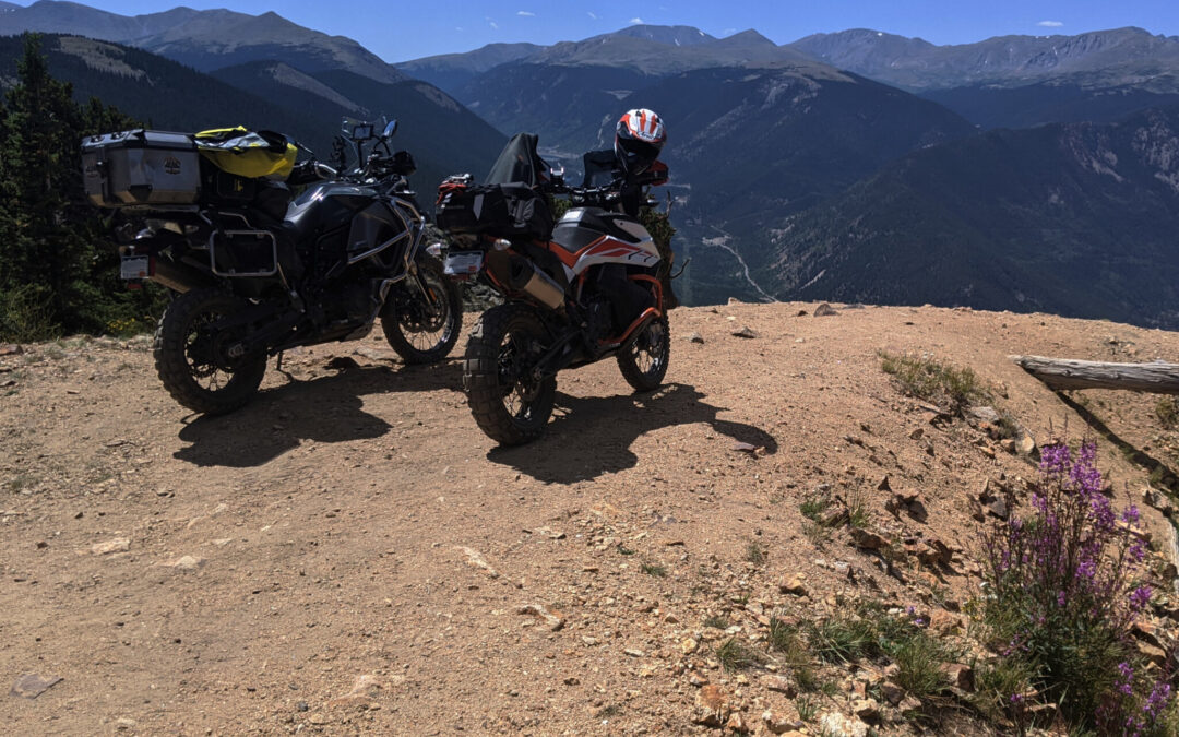
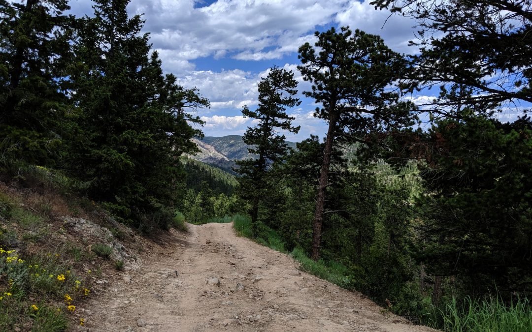
Saxon Mountain Trail Description:
Saxon Mountain Road over to Lamartine Mine is one of those must ride trails in the Colorado Front Range. It’s rough, sketchy at times and maybe a bit long, but it’s worth every bump and heart-stopping swerve towards the edge. The views from the top of Saxon Mountain are intoxicating. When coming down the eastern side of the mountain you have the option to visit the Lamartine Mine, one of the largest mines in the area. And all this on a Dual Sport Day Trip.
Dirt, South CO Front Range, Videos
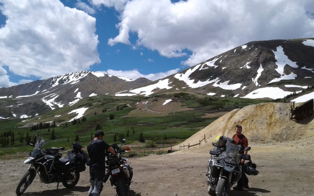
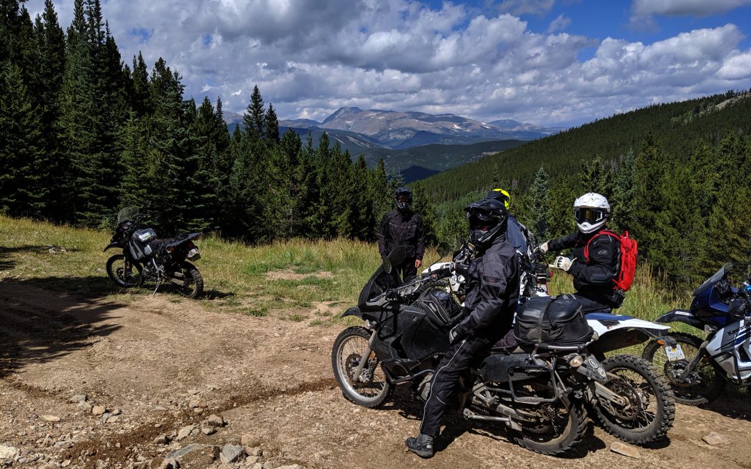
Santiago Mine Trail Introduction: The high-altitude Santiago Mine Trail has a short season, so plan on visiting in late July or August. Leaving Guanella Pass Road at just over 9,500 feet, Leavenworth Creek Road and McClellan Mountain Road take you to 13,000 feet with...
Dirt, North CO Front Range, Videos
Named after a long lost ghost town in this area, the American City Trail wraps around Colorado Mountain and through territory filled with long abandoned mines.

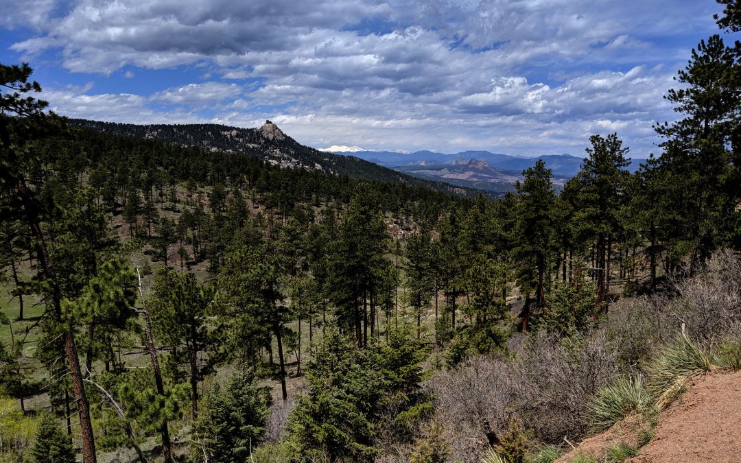
Dirt, North CO Front Range, Videos
The Switzerland Trail Introduction: The Switzerland Trail is split into three roughly equal five-mile sections. The northern section descends while contouring the hillside down to Fourmile Creek. The southern section slowly climbs out of Fourmile Canyon along the side...
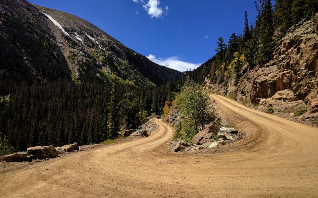
Dirt, South CO Front Range, Videos
Amazing drone footage from the SkyDio2 while cruising through Trail Creek Road’s rugged beauty.
Dirt, North CO Front Range, Videos
Climb over a Rocky Mountain with Killer Views
Cut through an island of forests and mountains, right in the Denver foothills. Steep climbs and descents and spectacular mountain views await.
Dirt, North CO Front Range, Videos
Aspen Forests, Continental Divide Views and More to Explore
Another DSDT trail that will make you feel like an explorer. This awesome trail connects Rollinsville on Peak to Peak Highway with the ghost town of Apex. The trail follows old prospector roads through an area once full of mining camps.
Dirt, North CO Front Range, Videos
A One Way Trip to the Top of Rocky Mountain National Park
This one-way gravel road climbs through a beautiful valley in the heart of Rocky Mountain National Park finally reaching the Alpine Visitor Center at the top of the Rockies.
Dirt, North CO Front Range, Videos
Follow a Sinuous Stream over a Soothing Summit
Swerve through more curves than you can count along Buckhorn Creek before climbing over a 9,126 foot pass, all on pavement-smooth gravel roads.
Dirt, South CO Front Range, Videos
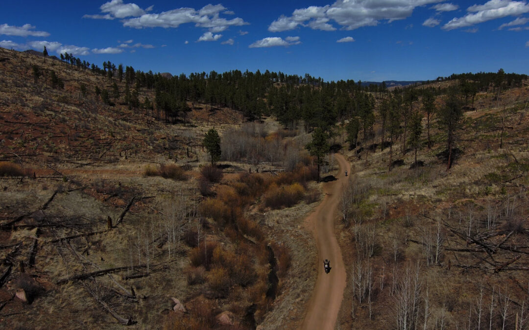
From Heaven, Though the Woods, to Hell
Starting at Bailey on Highway 285, Sugarloaf Peak Trail cruises south through the verdant Pike National Forest before emerging into the hellish landscape of the Hayman burn-scar.