GPX for Switzerland Trail
$5.00
Slicing through the birthplace of the Colorado gold rush the Switzerland Trail offers sometimes hidden mining history while proudly strutting its stunning views.
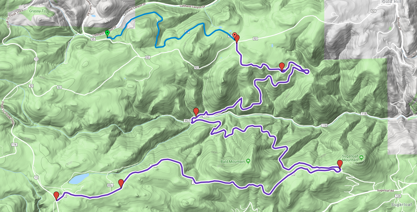
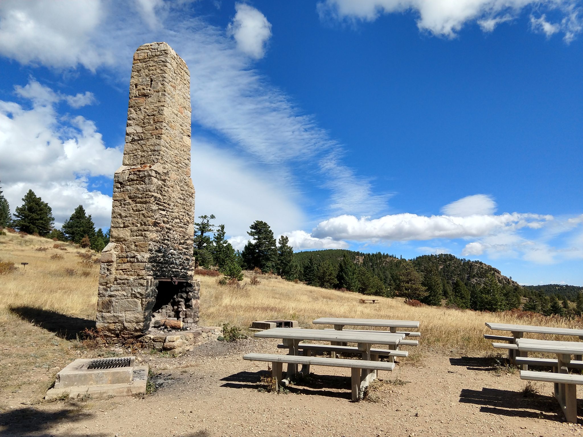
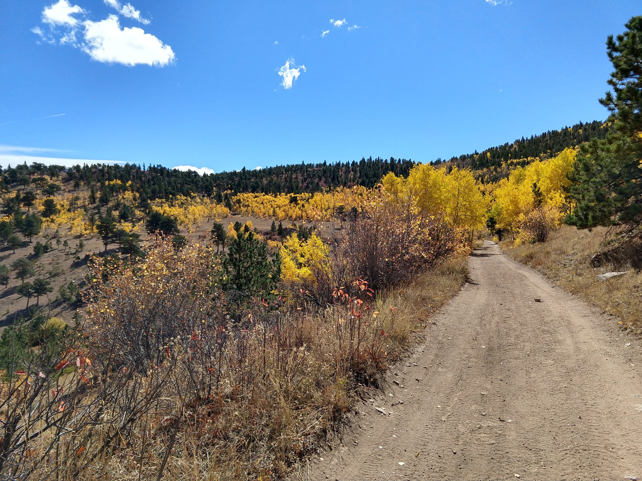
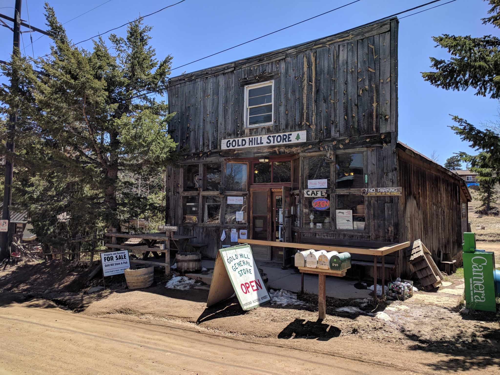
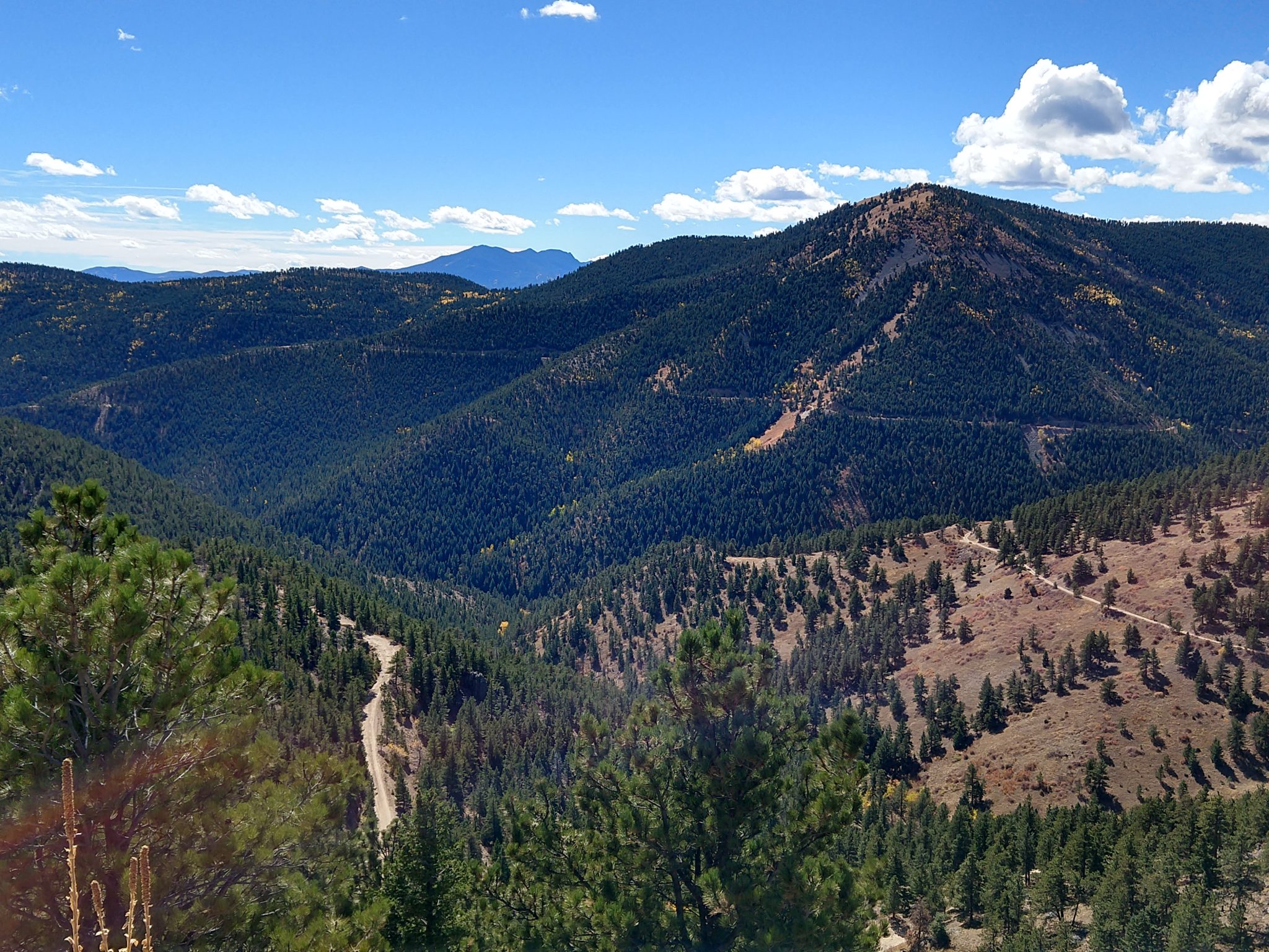
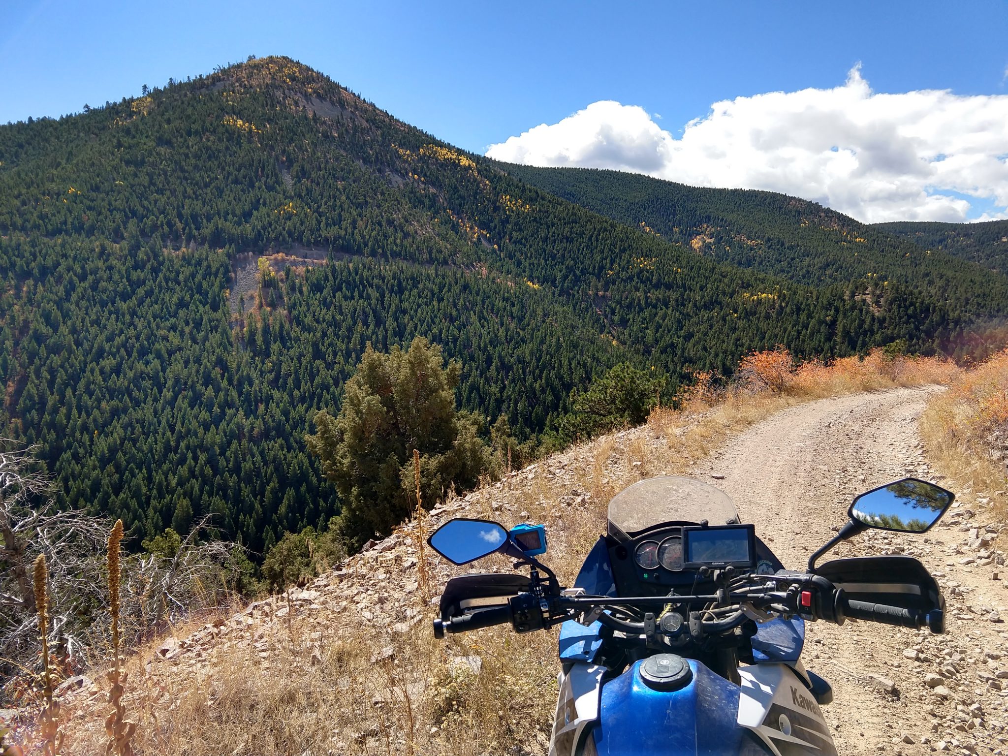
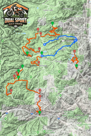
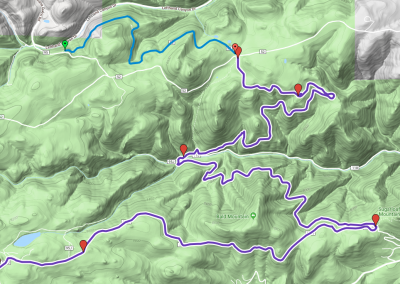
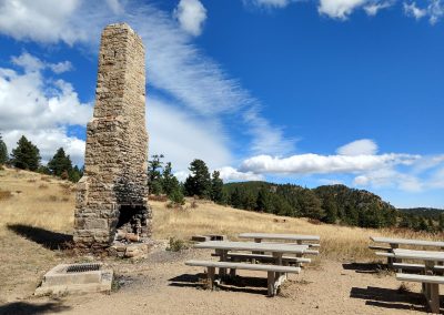
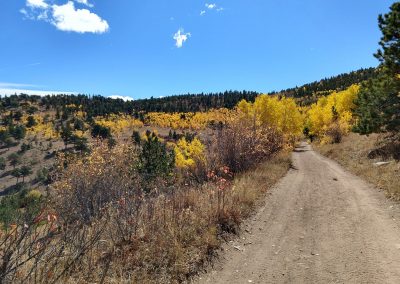
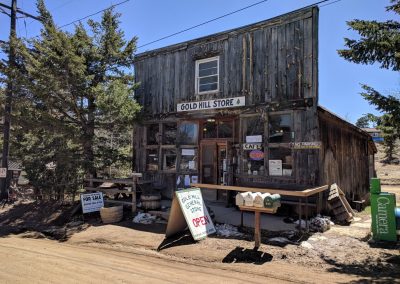
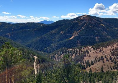
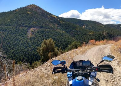
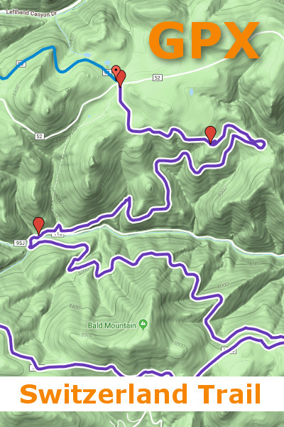
The Switzerland Trail is one of my favorite trails in the front range, and for good reason. Slicing through the birthplace of the Colorado gold rush the ST offers sometimes hidden mining history while proudly strutting its stunning views. A former rail route serving the late 1800 and early 1900 mining boom, and later tourists, this trail with a gentle and consistent grade cuts through the mountains west of Boulder. Split into 3 roughly equal 5-mile sections, the Switzerland trail starts at a parking lot on a ridge west of the historic mining town of Gold Hill before gently slithering down to the ghost town of Sunset. There's little left of the town, but this was a bustling place in the late 1800s when thousands of miners swarmed this area in search of gold. The train up Four Mile Canyon from Boulder split here with the northern section climbing up to Ward and the southern section climbing to Eldora. Continuing across Fourmile Canyon Drive the second section climbs at a steady pace up and around the north side of Bald Mountain to a parking lot just west of the summit of Sugarloaf Mountain. There's a short hike to the summit if you are in the mood for a stroll and more great views. If not, stay on your bike and conquer the final section. The trail turns west (right) out of the parking lot to wind its way through forests with pocket views of the Continental Divide all the way to Peak to Peak Highway.
Switzerland Trail GPX File
GPS Route and Waypoints to Import Into your GPS UnitThis GPX file can be imported into your GPS unit. Then just follow the line to take you on an amazing Dual Sport Day Trip!
GPX for Switzerland Trail
$5.00
Slicing through the birthplace of the Colorado gold rush the Switzerland Trail offers sometimes hidden mining history while proudly strutting its stunning views.

