Phantom Canyon GPX File
GPS Route and Waypoints to Import Into Your GPS UnitThis GPX file can be imported into your GPS unit. Then just follow the line to take you on an amazing Dual Sport Day Trip!
phantom-canyon-dualsportdaytrips.com-hero
Phantom Canyon Cover Photo

phantom-canyon-dualsportdaytrips.com-30
Phantom Canyon Cover Photo

phantom-canyon-dualsportdaytrips.com-26
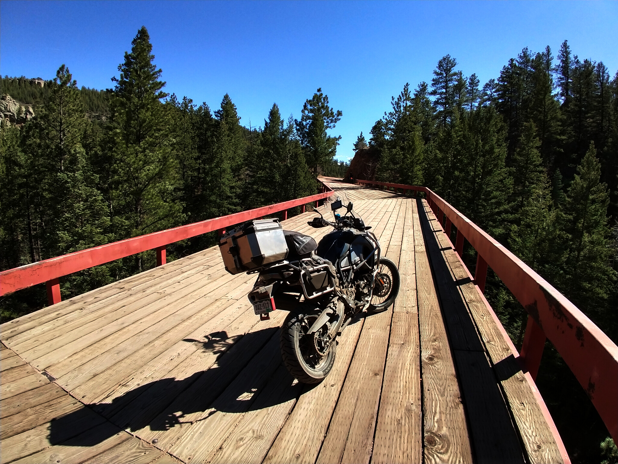
Steel Bridge – The Gold Belt Tour
phantom-canyon-dualsportdaytrips.com-24
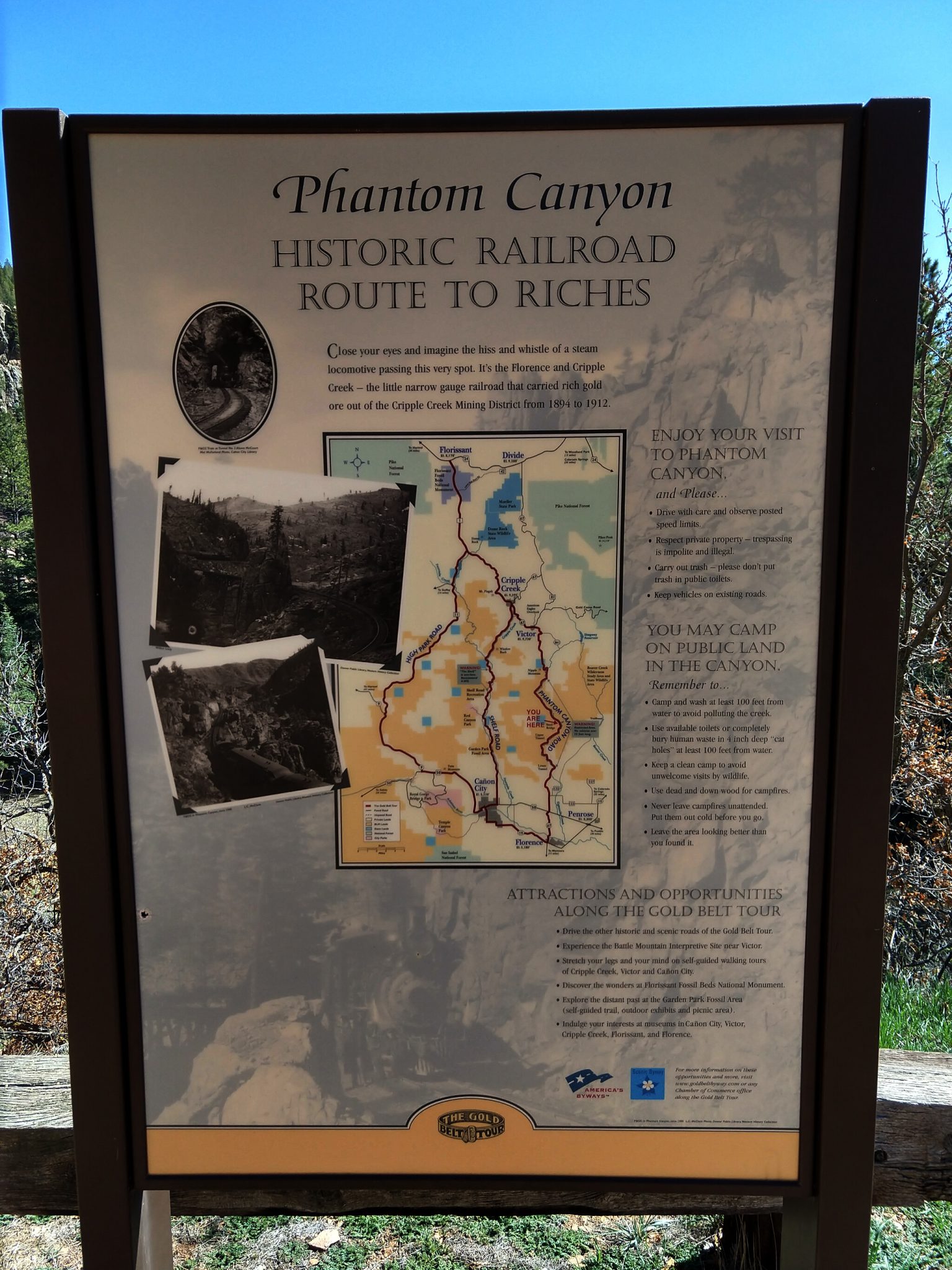
Phantom Canyon Historic Railroad Route to Riches Sign
phantom-canyon-dualsportdaytrips.com-23
Steel bridge with cycle
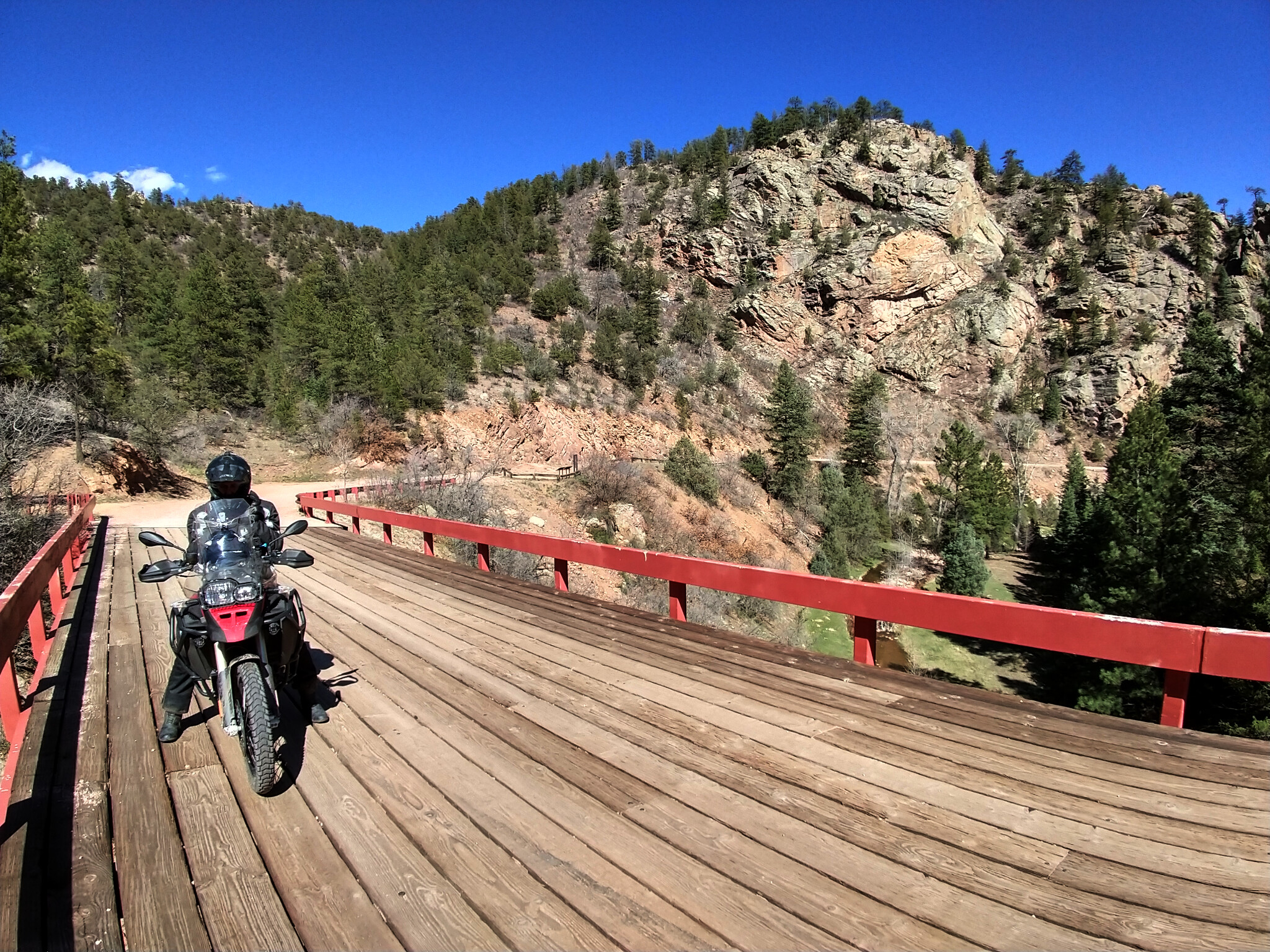
phantom-canyon-dualsportdaytrips.com-21
Randy on Steel Bridge

phantom-canyon-dualsportdaytrips.com-20
Steel Bridge length

phantom-canyon-dualsportdaytrips.com-18
Steel Bridge distance

phantom-canyon-dualsportdaytrips.com-14
Steel Bridge Rand and Rod
phantom-canyon-dualsportdaytrips.com-9
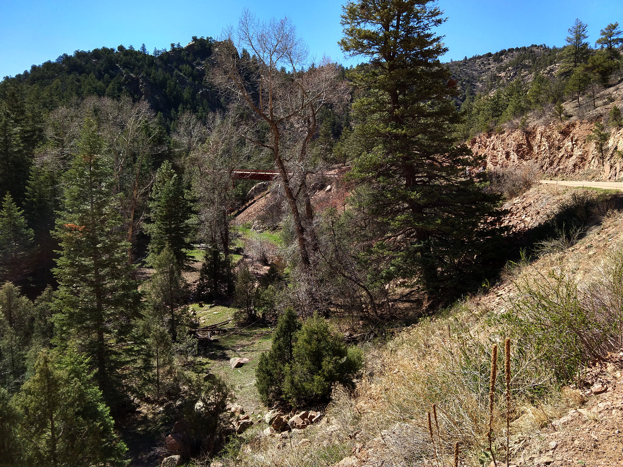
Steel Bridge Valley
phantom-canyon-dualsportdaytrips.com-8
Phantom Canyon Curved Bridge
phantom-canyon-dualsportdaytrips.com-5
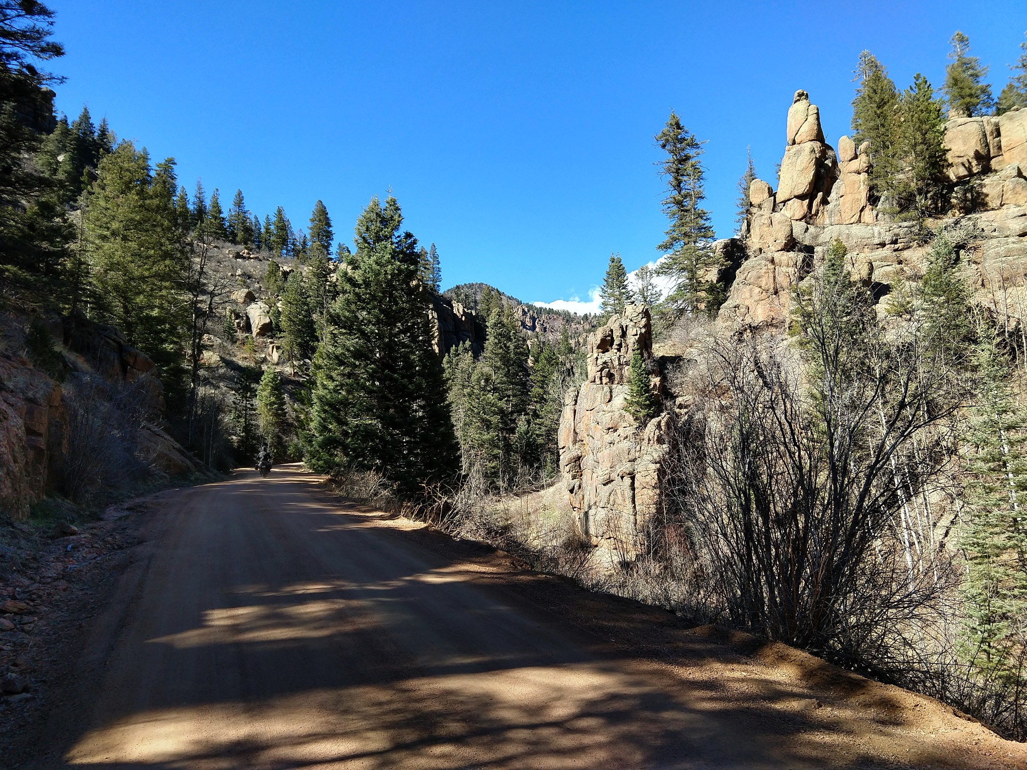
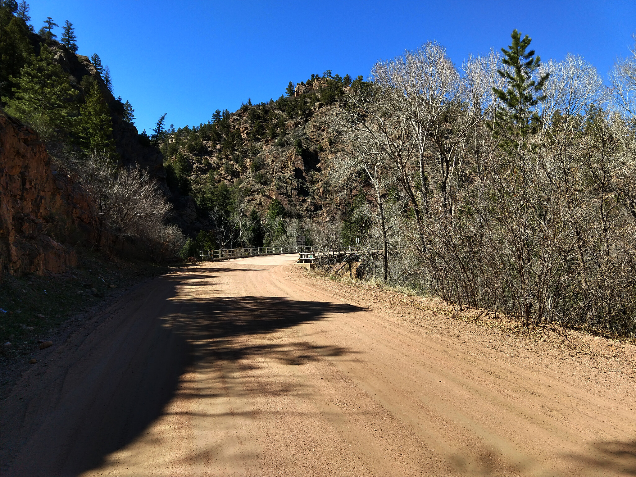
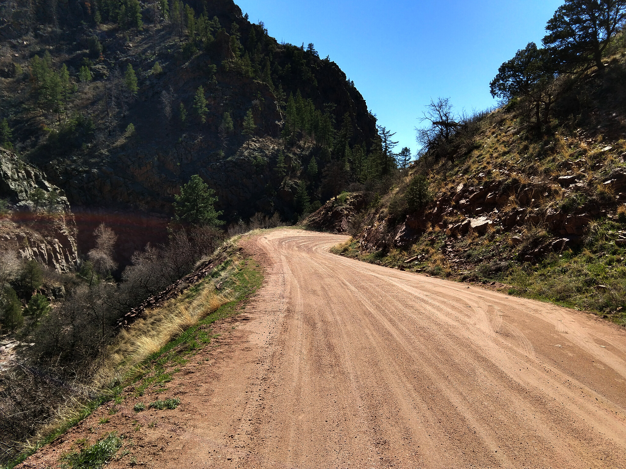
Phantom Canyon Road
phantom-canyon-dualsportdaytrips.com-4
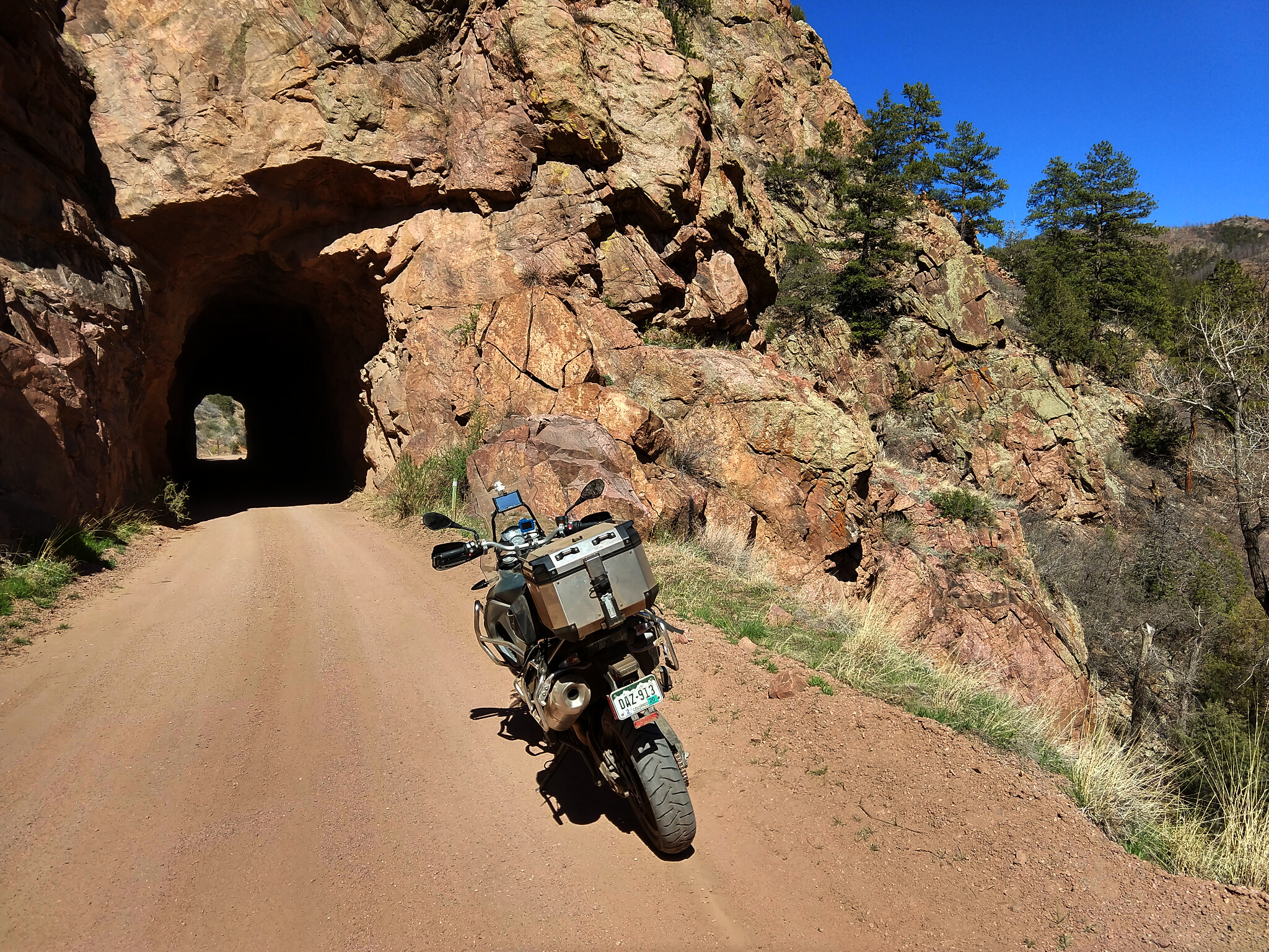
Phantom Canyon North Tunnel
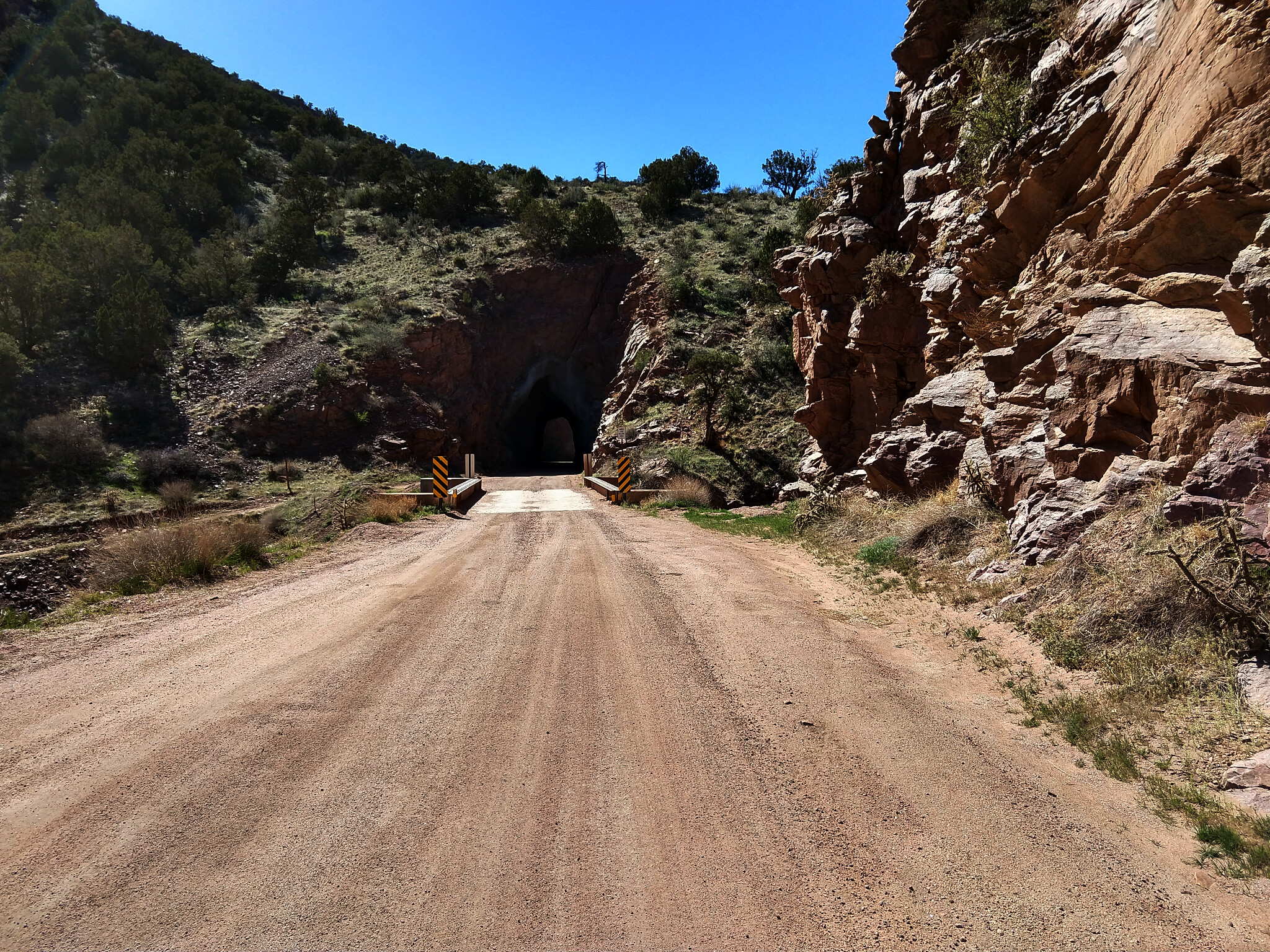
phantom-canyon-dualsportdaytrips.com-2
Phantom Canyon South Tunnel
phantom-canyon-dualsportdaytrips.com-1
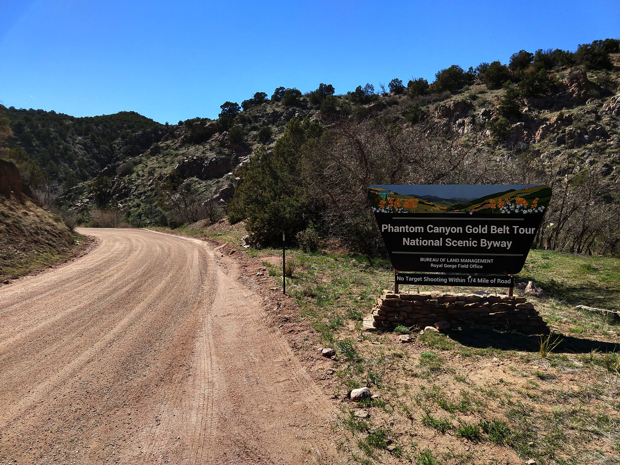
Phantom Canyon Gold Belt Tour National Scenic Byway

phantom-canyon-dualsportdaytrips.com-11
Steel Bridge Yahoos
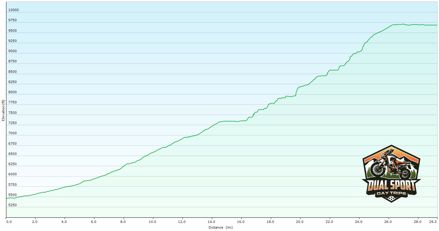
phantom-canyon-elevation-graph
Phantom Canyon Elevation Graph
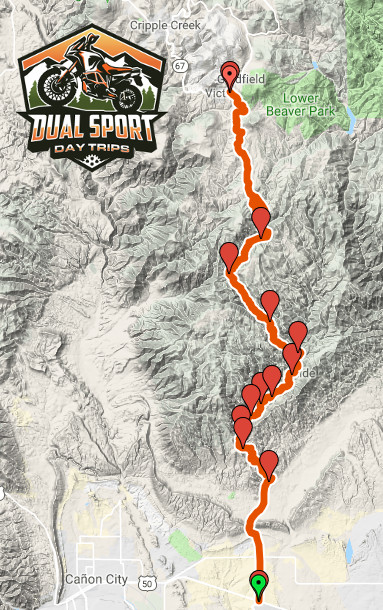
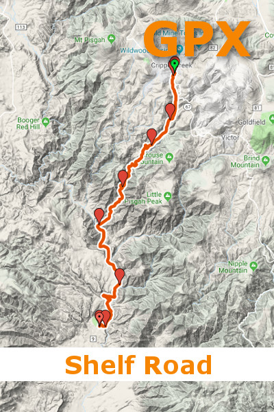
GPS-Map-Phantom-Canyon-DualSportDayTrips.com
Phantom Canyon GPS Waypoints
GPX for Phantom Canyon
$5.00
Originally a rail bed, Phantom Canyon Road is now part of the Gold Belt Scenic Byway. Following the path created for the Florence & Cripple Creek Railroad, this route through a spectacular canyon climbs 4,424 feet in just under 30 miles.